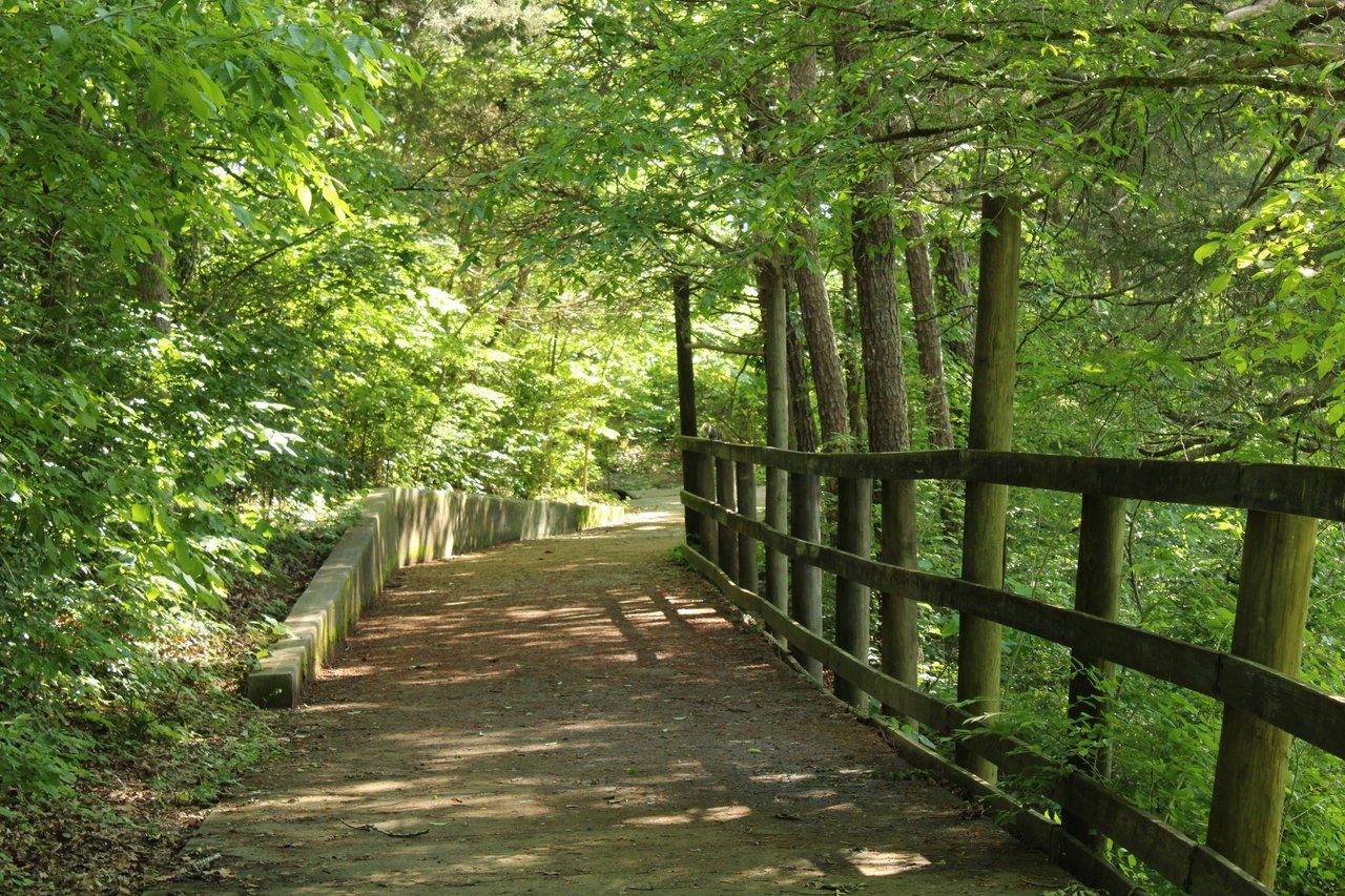
At W. 34th Street, Shoal Creek still feels like a creek. Seiders Springs sits on the east bank between 34th and 38th, where seeps and springs come out of the limestone and keep a small creekside wetland wet. A Pemberton Heights walker heading south from there follows a park trail down to the rock hop and gazebo, then climbs to a trailhead halfway along W. 31st Street, across from St. Andrew's.
That trailhead is the last creekside stretch for a while. South of it, all the way to 24th Street, the route this November runs on N. Lamar Boulevard. Part of that is the city's new urban trail. The rest is detours around a resurfacing closure and an old landslide. Within these ten blocks, one segment is finished, one is under repair, one is in design, and one has no construction funding. Knowing which stage you're walking past tells you which side of Lamar you'll be on.
The Route, Block by Block
Here's the route from north to south as it stands the first week of November:
- W. 34th Street to the rock hop and gazebo. This is the original park trail, and the city's gap project leaves it alone. The rock hop stays too.
- Rock hop to the W. 31st trailhead. Still parkland, and still steep enough that many people can't use it.
- W. 31st Street, trailhead to Lamar. A walking lane along the south curb with a low barrier, plus shared-lane markings and traffic calming for bikes.
- Lamar, 31st to 29th. The new Middle Gap, finished in July.
- Shoal Creek Blvd to the Janet Fish Bridge. The creek trail is listed as closed for resurfacing. The detour is the west-side Lamar sidewalk.
- Roughly 26th to 27th Street. Landslide debris blocks the trail. The detour is the east-side Lamar sidewalk.
- Shoal Creek Blvd and Lamar to the rock hop just north of 24th. A 12-foot shared-use path, open since January 2025.
Four of those seven segments run along Lamar. And the two detours are on opposite sides of the boulevard.
The Steep Part Is Staying Steep for Now
Many people don't think of the parkland between W. 31st and the gazebo as a gap, since there's a trail there. The city counts it as one because of the grade. When the city published its 2024 plan, the Shoal Creek Conservancy described the stretch this way:
"This is a beloved stretch of trail for users who are able to access it. However, it is currently not accessible to many users due to its steepness."
That plan proposed widening this segment to 12 feet and regrading it so it would be ADA accessible from the W. 31st trailhead to the rock hop and gazebo. It also raised the possibility of resurfacing the bridge just north of W. 34th, though funding for that piece might not be included. The City of Austin's project page shows funding for preliminary engineering on this parkland segment and for traffic calming on W. 31st and Shoal Creek Blvd. It shows no funding for construction of the North Gap parkland trail or the widened North Gap sidewalk.
So this fall the climb up to the W. 31st trailhead is the same one it has always been. On W. 31st itself, the city's 2021 pilot path with flex posts is gone. In its place, the city restored the south-curb walking lane with a low barrier, and cyclists ride in the street with cars, with shared-lane markings and traffic calming meant to slow drivers.
Two Blocks of Lamar Got the Full Treatment
At Lamar the route improves noticeably. The Middle Gap work between W. 29th and W. 31st wrapped up in July 2026, three months ahead of schedule. The changes along this block:
- A new crosswalk on the north side of the W. 31st and N. Lamar intersection, leading to the bus stop that moved to 3100 N. Lamar Blvd.
- Signals and pedestrian push buttons that are easier to reach.
- The sidewalk between 31st and 30½ Street widened into a 12-foot shared-use path.
- A separate 10-foot terracotta bike path from 30½ Street to 29th, so people on foot and on bikes get their own lanes.
- Improved sidewalks and crossings on the east side of Lamar from 31st down to the San Gabriel and 29th intersection.
Drivers will notice a change here too. The rebuilt median on Lamar closed the southbound left turn onto San Gabriel Street. Southbound left turns now go onto W. 29th Street. The city and the Conservancy marked the segment's completion on August 22.
Together with the 12-foot path that runs south from Shoal Creek Blvd to the rock hop near 24th, these two blocks are where Lamar is the finished design. In between, at the resurfacing closure and the landslide, Lamar is the fallback.
Below 29th, the Creek Path Is Fenced Off
Just south of 29th Street, the Janet Fish Bridge marks the north end of a stretch the Conservancy calls substandard "for years," with rough surfaces and awkward manhole covers. Austin Parks and Recreation closed it for resurfacing on April 27. The city's facility closures page lists the work as running through November 2026, and that entry was last updated September 9. The Conservancy's closures page gives the same November estimate. It notes that permitting delays and crew availability have already pushed the work past the city's original late-June finish.
Until the closure lifts, the detour is the sidewalk along the west side of N. Lamar between Shoal Creek Blvd and 29th Street. When the work is done, this shady section should be passable for every trail user, with no rough patches or manhole covers to step around. Since the end date is only an estimate, check both closure pages before planning a creekside loop in November.
The Landslide Puts You on the Other Side of Lamar
Farther south, the second blockage is far older. Landslides in Pease Park in May 2018 and May 2019 left debris across both the creek and the trail from about 26th to 27th Street. The detour here is the paved sidewalk on the east side of the creek along N. Lamar.
Together, the two detours mean a southbound walk from 29th to 24th starts on the west side of Lamar and switches to the east side partway down. The landslide site is part of the city's South Gap segment, which went through public review in 2024 and is now in design. The city's project page shows construction funding for the South Gap and only preliminary engineering for the North Gap. As a result, the landslide detour south of 29th is further along the path to a permanent fix than the steep climb in the parkland north of 31st.
North of 34th, Construction Moves Upstream
Heading north from Seiders Springs instead, the city describes the existing trail as ending at 38th Street. Beyond it, protected bikeways on Shoal Creek Blvd continue from 38th to Highway 183. At FM 2222, also known as Northland Drive, the city started building a 12-foot underpass at Shoal Creek Blvd in August 2026. The underpass will link those bikeways to the existing parkland nature trail. Construction is expected to run through summer 2027, and the Conservancy warns of intermittent trail detours and lane closures in the meantime.
Saturday Morning at Seiders Springs
The northern end of this route is where the Conservancy has volunteers out this week. Its next It's My Park Day at Seiders Springs Park, 1380 W. 34th St., runs Saturday, November 7, from 9 to 11 a.m. Volunteers will make and scatter seed balls, plant Texas natives, and pick up litter and recyclables. Details and sign-up are on the Conservancy's event page.
For a stop afterward, Postino Bryker Woods is a block north at 1615 W. 35th St. Hoodline reported a new Postino opening in Westlake this September, but the Bryker Woods location is the one within walking distance of the springs.
If you'd like to talk about which streets near Seiders Springs, the W. 31st trailhead, or the new Lamar path fit the way you want to spend your mornings, Linda Miller would be glad to walk it with you. Let's Connect.